sol d

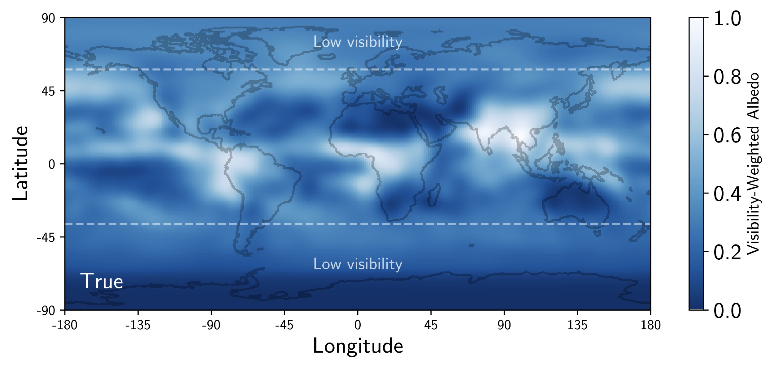
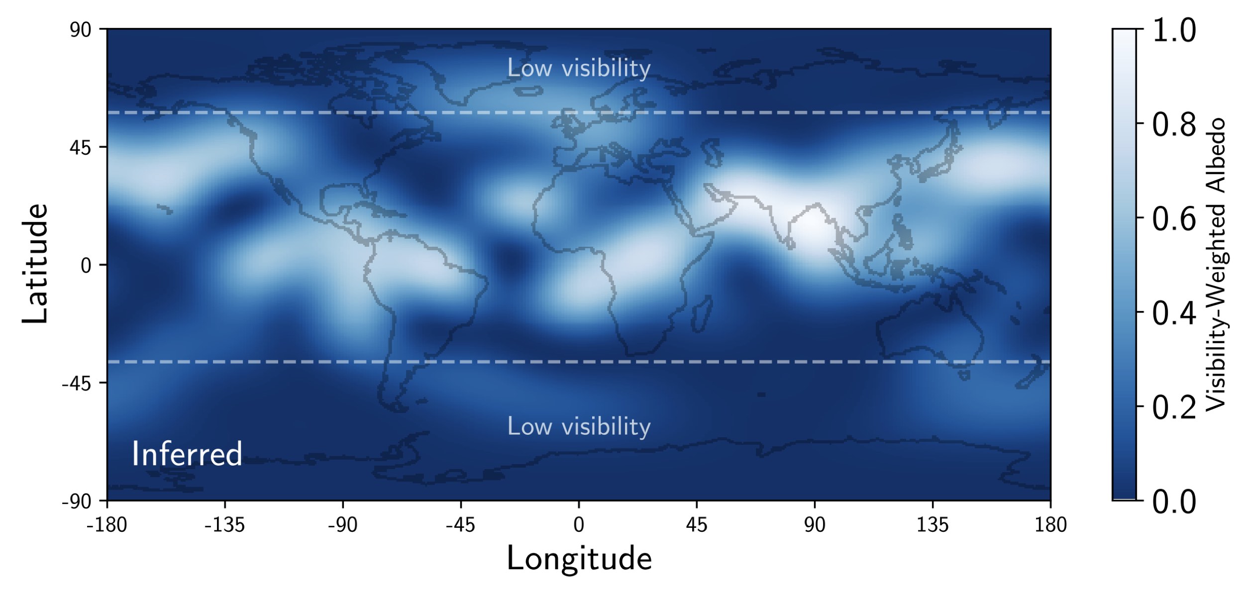
I analyzed the background Earthshine data in TESS photometry to produce a global, time-variable 2D map of the Earth's cloud cover during July and August of 2018. This was originally submitted to the arXiv as an April fool's paper. Check out the links below for more information.


Figure 1 Approximate cloud coverage map based on corrected surface reflectance obtained by the VIIRS imager, averaged over the same date range and weighted by the weighted by the visibility across TESS Sectors 1 and 2. The dashed white lines indicate latitudes above/below which the visibility drops below 50%.

Figure 2 The maximum likelihood model for the surface albedo of Sol d inferred from the TESS data, weighted by the same visibility function as in Figure 1.